Day 10: North Rim of Black Canyon of the Gunnison National Park
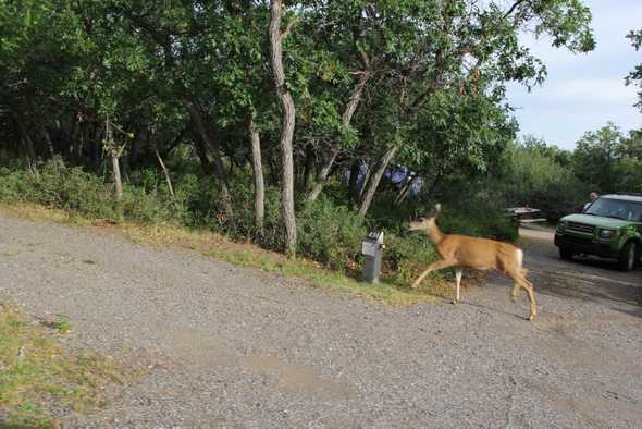
Today was another morning of wildlife roaming through the campground on the South Rim of Black Canyon of the Gunnison National Park. However, I didn’t see baby deer this morning.
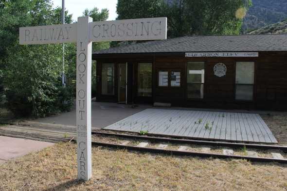
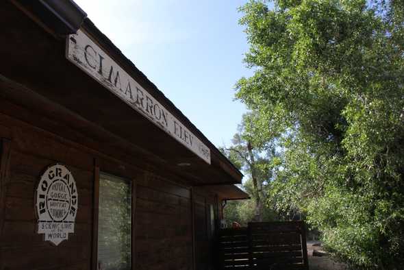
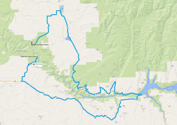
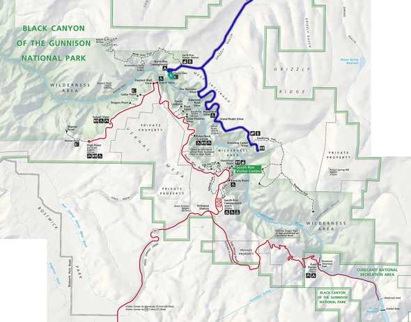
Unfortunately, it was time to move on to the North Rim. I took advantage of the extra day I had scheduled for any delays, and headed towards the North Rim. I drove through Cimarron, an old train stop.
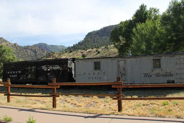
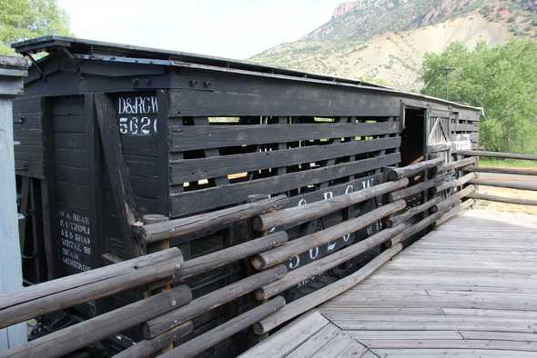
Freight and livestock narrow-gauge railcars from the Rio Grande railroad now sit on display.
Towns like Gunnison and Cimarron were virtually unknown in the 1800’s, surrounded by some of the West’s most rugged terrain, and making them almost inaccessible. Thanks to General William Jackson Palmer and his Denver and Rio Grande railroad in 1881, Gunnison Country was connected to the outside world. The route was completed to Montrose in 1883, and eventually connected with the transcontinental system north of Salt Lake City.
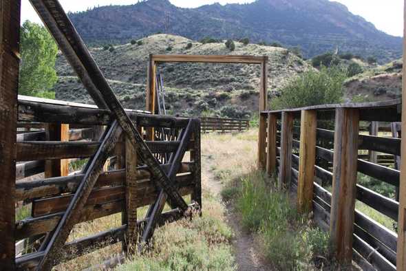
The Cimarron station was initially meant to be where extra engines were added to westbound trains to help with the 4% climb of Cerro Summit. Livestock shipping was a very important part of the town’s economy and growth, considered to be the second largest shipping center in Colorado after Placerville.
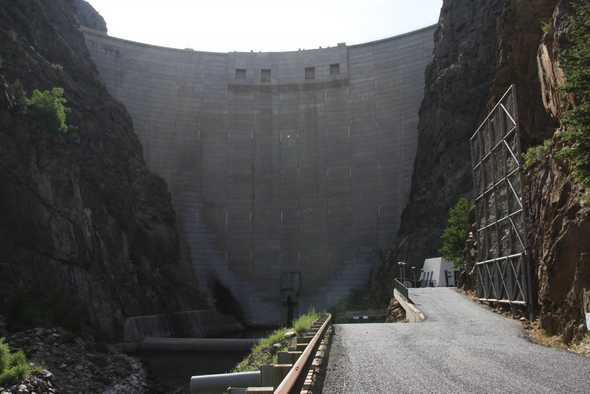
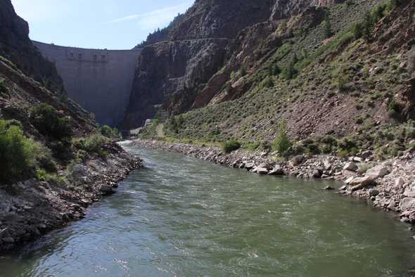
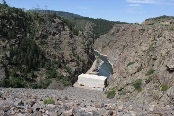
Driving farther into the canyon, I came across the second dam of the Colorado River Storage Project on the Gunnison River. Morrow Point Dam is upstream of Crystal Dam, which I visited the other day.
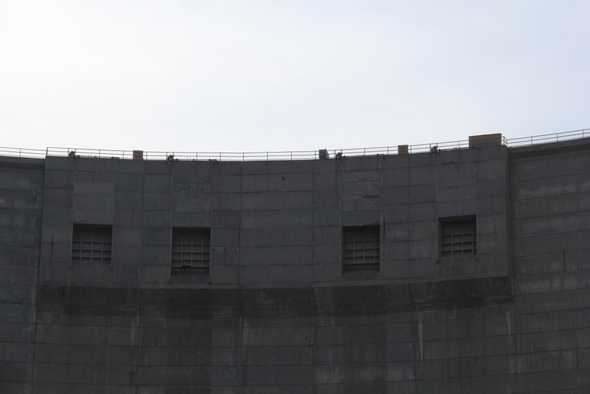
Construction of the Morrow Point Dam and Powerplant began in June 1963 and was completed in the Spring of 1971. It is the first large double-curvature, thin-arch concrete dam to be built in the United States. 469 feet high, 740 feet long, 52 feet wide at the base, 12 feet wide at the crest, and containing 360,000 cubic years of concrete, the dam weighs about 700,000 tons. Damn!
It also has a unique free-fall spillway with four 15-foot square openings in the crest of the dam, spilling water more than 350 feet into a 60-foot stilling basin.
The power plant is in a room excavated in hard rock, 225 feet inside the canyon wall. The generator room is 50 feet wide by 202 feet long and the arched roof is 65 to 134 feet high.
The reservoir capacity is 117,000 acre-feet, covering an area of 1.3 square miles and extends to the toe of Blue Mesa dam. The power plant has two generating units with a total capacity of 120,000 kilowatts.
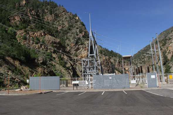
An underground cable from the generators carries 230,000 volts to the Morrow Point Switchyard, where it is fed to overhead transmission lines over the mountain and throughout Colorado and surrounding states.
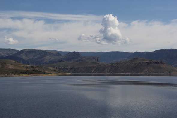
If that wasn’t enough fun for the day, I continued east to Blue Mesa Dam and Reservoir.
The reservoir covers more than 14 square miles and is 20 miles long.
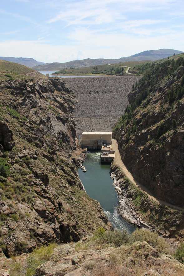
The Blue Mesa Dam has two turbines, each with a capacity of 48,000 kilowatts of electricity. That’s enough to power a city of 77,000 people!
Having crossed the Gunnison River, it was back west to the north rim of Black Canyon of the Gunnison National Park. Kind of a long way to cross the river, but well worth the scenic history and views.
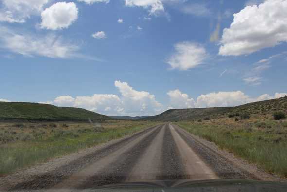
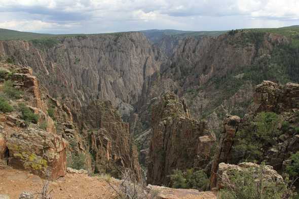
The North Rim is a whole different creature compared to the South Rim. Dirt roads make this the less visited part of the Park.
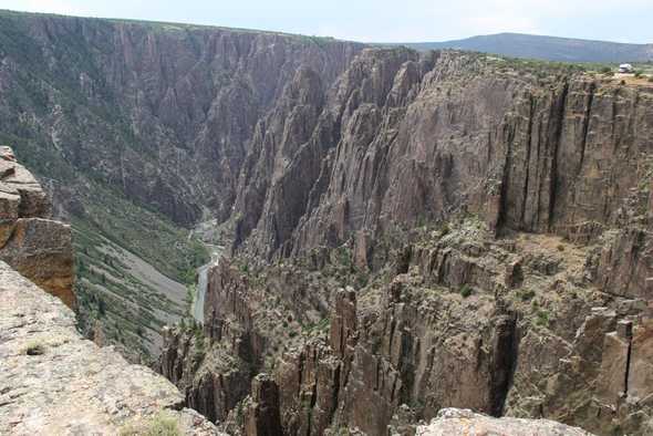
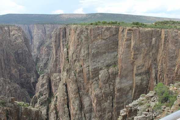
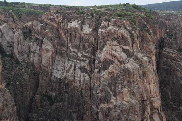
But the views are just as impressive as the South Rim!
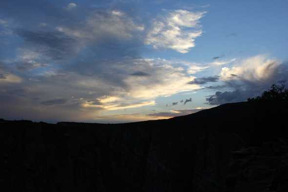
There were only a few people around the North Rim today. With no Visitor Center or Ranger programs to attend, nature was about the only thing to look at. I spent several hours at Chasm View enjoying the view and the sunset. A great way to connect with the true nature that the National Parks protect and preserve.
