K10 autonomous robot
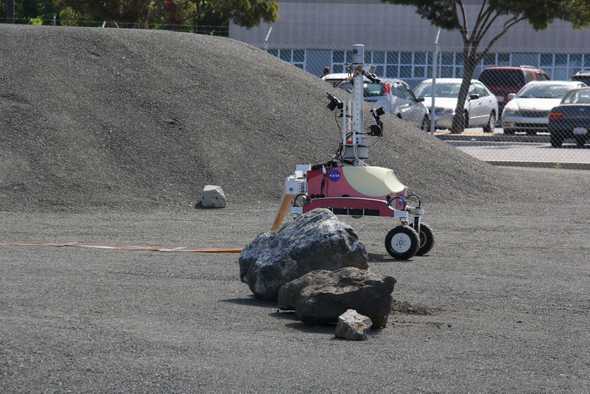
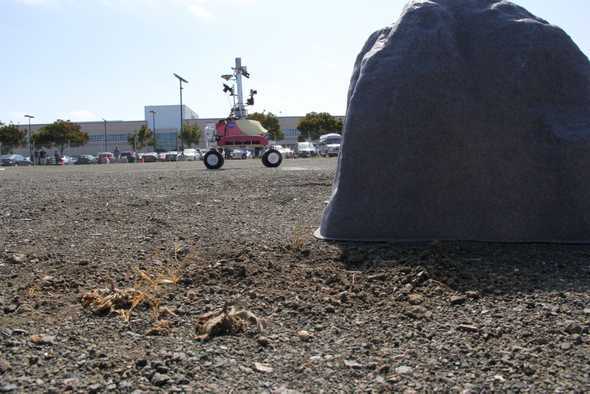
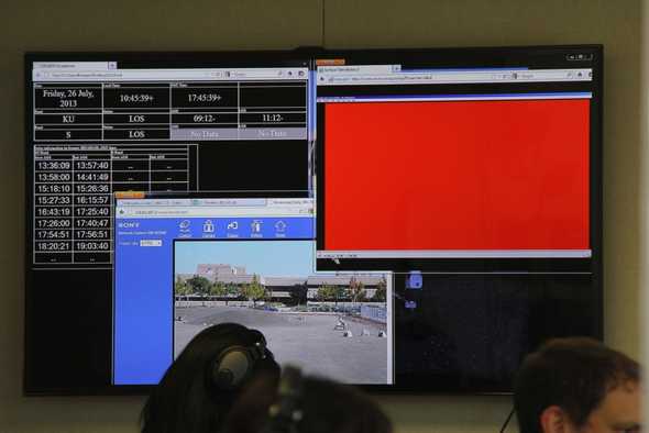
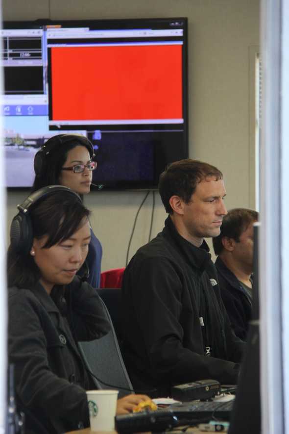
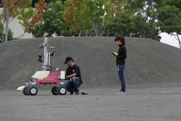
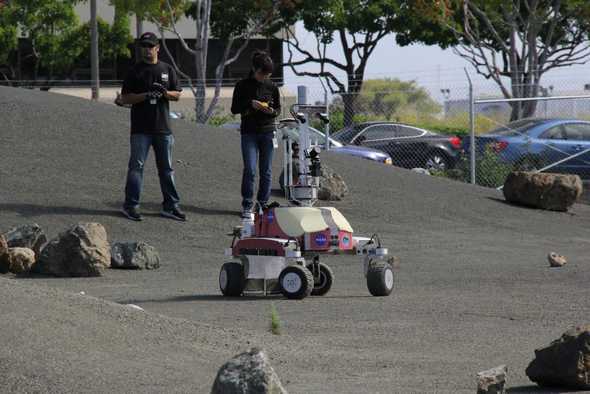
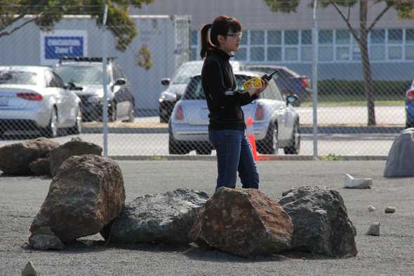
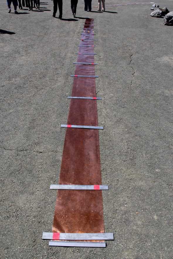
Last Friday, a K10 robot was remotely operated by Astronaut Luca Parmitano and successfully deployed three radio antennas on a roverscape at NASA Ames Research Center in Mountain View, CA. Here is video of the rover in operation.
The K10 robot is designed to be remotely operated on planetary surfaces and act as scouts for human explorers. Scouting is an essential phase of fieldwork, particularly for geology, to help establish priorities and scientific objectives. Robotic scouting can improve human exploration of the moon by providing mission planners with detailed ground level information to supplement and complement data collected by orbiting satellites.
Human missions to the moon will provide numerous opportunities to advance the scientific exploration of the lunar surface. Initially, human exploration of the moon will be for short periods of time, no more than a few weeks per year. To make use of the time between human missions, robots can be used to perform highly repetitive and long-duration tasks such as site-mapping and science reconnaissance.
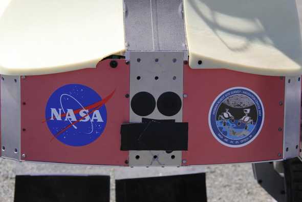
The Intelligent Robotics Group at NASA Ames Research Center developed the K10 robots using specifically designed parts and off-the-shelf components. The project is funded by NASA’s Exploration Technology Development Program, which develops and matures technologies to meet the demands of NASA’s lunar exploration missions objectives.
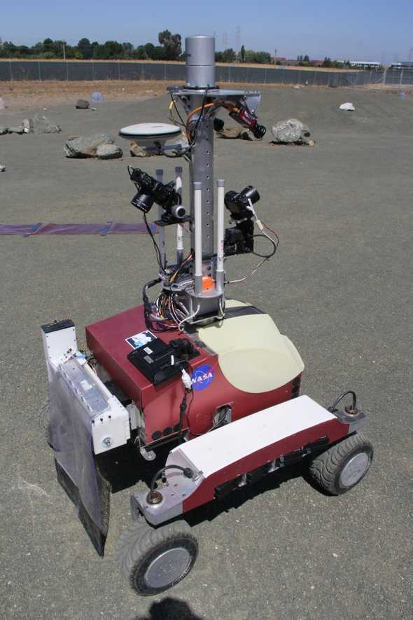
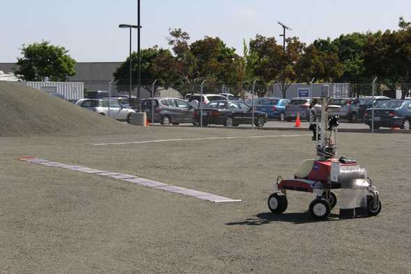
The robots can drive autonomously and traverse long distances over a variety of terrain, running of custom, embedded software on a dual-core Linux laptop. The K10 is operated using wireless communications, Google Earth, a web-based photo gallery, and the “Viz” 3D user interface, developed by NASA Ames.
The robot uses 20 laptop computer lithium-ion batteries to power its four-wheel-drive, all-wheel steering equipment and sensors.
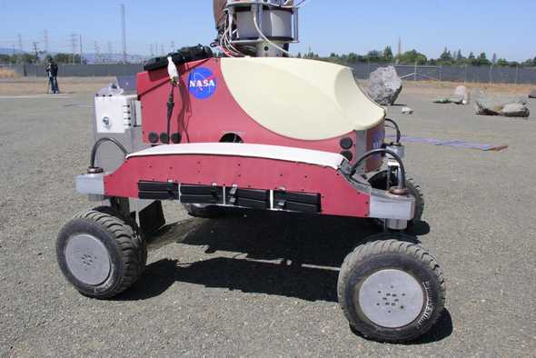
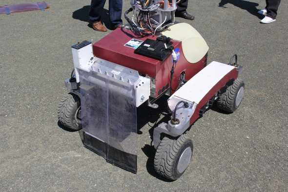
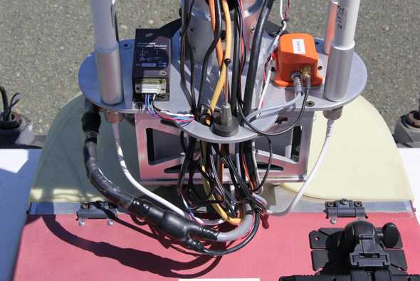
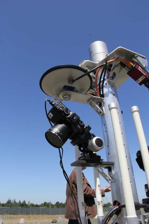
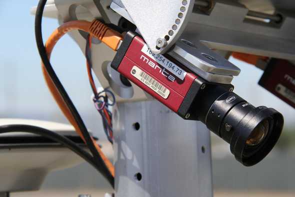
A little more than four feet tall and weighing 175 pounds, it can carry 30 pounds of science instruments. It can climb hills as steep as 45 degrees and climb over rocks. It moves at approximately two feet per second. To navigate, it uses GPS, stero cameras, a laser scanned, a digital compass, a sun tracker, and a motion sensor.
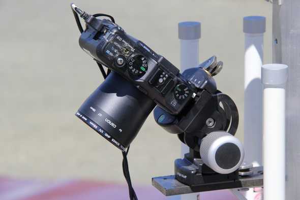
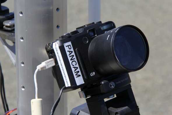
It uses a 3D scanning laser system called a lidar to build topographic and panoramic 3D terran models. Equipped with a Giga-Pan robotic camera, it can take panoramic pictures containing more than a billion pixels. It also has a microscopic camera to take high-resolution photographs of the ground to help scientists analyze surface features.
K10 robots are also used for site surveys, which are needed to plan for landing zones, prospect for resources and conduct science on the lunar surface. During a survey, the robot carries instruments including a ground penetrating radar to map underground layers and structures, a penetrometer to measure a surface’s weight-bearing strength, wireless network monitors to map coverage area and bandwidth, and a neutron spectrometer to search for buried water ice.
